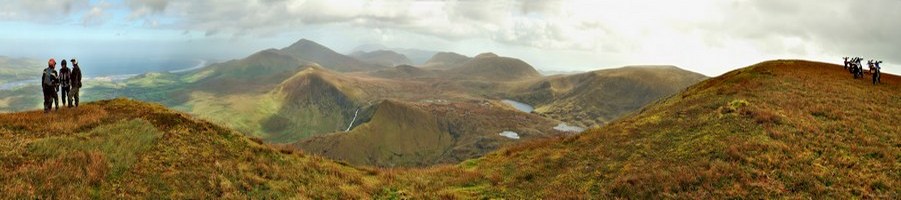
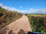
I rode this lane fairly recently and at the HMP end there was a fence across the road blocking it. As I arrived a lorry was passing out of the prison and as soon as it had passed by a workman opened the fence to permit me to pass. It looked like a sensible arrangement to prevent an injury to anyone not expecting a large construction vehicle to be using the prison entrance road and it appeared to me that the way was only blocked for the time it took for the lorry to pass. Nothing to do with the current works which will (hopefully) do away with the mud pit and the long deep puddle, but it is a shame to see interesting features removed when they do not prevent us enjoying the way. Probably not so much fun for the ramblers when the water is deeper than their wellies.
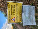
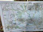
The notice says roads (plural) and I wonder if they will be addressing the parts of Doughy lane and the road north from Stubbins cross which are prone to flooding too as these are also highlighted on the map?
The guys operating the temporary gate at the prison told me that originally the plan was to tarmac it and include it in some cycle route but the local horse riders kicked of because the black stuff is slippery.
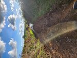
They have already started scraping back the next lane and have piled all the stuff on the second corner by the water splash.
Probably all happened or discussed at local level, cycling has a big push in the last couple of yrs, along with accessing links to the network of public rights of way, linking in other public ways for all.
You should have had your rake in the foreground Trevor and said look at what I have done
Loads of money available through funding from government